Interpreting METAR reports is a vital skill for every pilot. These brief codes hold the key to safe flight planning and can reveal hidden atmospheric risks. Yet, while most rely on basic weather apps, professional pilots go further and use platforms that cross-reference meteorological data from multiple international airports for maximum accuracy. There is a reason why mastering METARs transforms routine weather checks into life-saving decisions before every take-off.
Table of Contents
Quick Summary
| Key Point | Explanation |
| 1. Use reliable METAR sources | Prioritise professional platforms that provide accurate, up-to-date METAR information for effective flight planning. |
| 2. Master METAR components | Familiarise yourself with the structure of METAR reports to decode weather information efficiently for flight assessments. |
| 3. Develop strategic retrieval techniques | Create a systematic approach for accessing METAR reports, focusing on airport identifiers and report timestamps. |
| 4. Interpret weather trends holistically | Assess how various weather factors interact and anticipate changes based on current and historical data patterns. |
| 5. Regularly apply and verify METAR knowledge | Continuously integrate METAR data into operational decisions, recalling that weather conditions can shift unpredictably during flights. |
Step 1: Gather Necessary Tools for METAR Analysis
Reading METARs effectively requires strategic preparation and access to reliable meteorological resources. Before diving into complex weather decoding, pilots must equip themselves with specific tools and platforms that transform raw meteorological data into actionable flight planning insights.
Digital Weather Information Platforms
Modern pilots have multiple digital channels for accessing METAR information. Professional aviation weather services like Skybrary provide comprehensive platforms where pilots can retrieve current and historical meteorological reports. These digital resources often include interactive interfaces that make decoding METARs more intuitive and user-friendly.
Critical tools for METAR analysis include:
-
Aviation weather websites with real-time updates
-
Mobile applications specializing in meteorological data
-
Official national meteorological service portals
-
Professional flight planning software
When selecting your primary METAR information source, prioritize platforms that offer reliable, up-to-date information and support multiple decoding formats. Professional pilots typically maintain subscriptions to dedicated aviation weather services that provide comprehensive meteorological data beyond standard public resources.
Understanding the technological landscape is crucial. While numerous free resources exist, professional-grade platforms often provide more detailed and accurate information. These services integrate multiple data sources, cross-referencing meteorological reports to ensure maximum precision.
Technical Requirements and Preparation
Beyond digital platforms, pilots need specific technical capabilities. A stable internet connection, updated web browser, and ideally a secondary backup method for accessing weather information are essential. Some professional pilots maintain multiple information sources to cross-verify meteorological data, reducing the risk of missing critical weather updates.
Additionally, familiarize yourself with standard decoding methods and abbreviations used in international METAR reporting. This knowledge transforms raw data into meaningful insights, allowing for rapid and accurate flight planning assessments. Investing time in understanding these technical nuances will significantly enhance your ability to interpret complex meteorological information quickly and confidently.
The following table provides an overview of essential tools and resources required for effective METAR analysis, along with their purpose and key considerations.
| Tool/Resource | Purpose | Key Considerations |
| Aviation weather websites | Access real-time METAR updates | Ensure data is reliable, up-to-date, and internationally compliant |
| Mobile meteorological applications | Retrieve METARs on-the-go | Prefer apps specialising in aviation or meteorological data |
| Official national meteorological service portals | Receive authoritative METAR information | Verify coverage for required regions and recentness of data |
| Professional flight planning software | Integrate weather with flight planning | Offers cross-referencing and historical data support |
| Stable internet connection | Maintain consistent access to platforms | Consider back-up connectivity for redundancy |
| Updated web browser | Ensure platform compatibility | Use the latest versions for security and speed |
| Secondary/backup METAR source | Cross-verify information | Reduce risk of missing critical weather updates |
Remember, successful METAR analysis begins with having the right tools and understanding how to use them effectively. Preparation is your first and most critical step towards safe and informed flight planning.
Step 2: Locate and Access Current METAR Reports
Locating and accessing current METAR reports is a critical step in flight planning that requires precision and understanding of multiple information channels. Pilots must develop a systematic approach to retrieving the most recent and accurate meteorological information for their intended flight routes.
Official Aviation Weather Sources
Navigation through official aviation weather sources demands familiarity with multiple platforms. Government meteorological websites, such as those operated by national aviation authorities, provide comprehensive and authenticated METAR data. European aviation resources recommend utilizing official channels to ensure data reliability and compliance with international standards.
Professional pilots typically maintain subscriptions to dedicated aviation weather services that aggregate METAR reports from multiple international airports. These platforms offer real-time updates and often include additional contextual information about atmospheric conditions, wind patterns, and potential meteorological challenges.
Critical platforms for METAR report access include:
-
National meteorological service websites
-
International aviation weather portals
-
Professional flight planning software systems
-
Military and civilian aviation information networks
Strategic Report Retrieval Techniques
Successful METAR report retrieval requires more than simply accessing a website. Pilots must develop strategic techniques for quickly locating and interpreting meteorological data. This involves understanding airport identifier codes, knowing the precise syntax of METAR reporting, and recognizing the most current timestamp on each report.
Most professional aviation weather platforms allow users to search by airport identifier, region, or specific geographical coordinates. Some advanced systems provide filtering options that enable pilots to view historical weather trends alongside current conditions. This comprehensive approach helps pilots anticipate potential meteorological shifts during their planned flight duration.
Time management is crucial when accessing METAR reports. Experienced pilots recommend retrieving reports within a specific timeframe before departure, typically between 30 minutes to two hours prior to flight time. This window ensures the meteorological information reflects the most recent atmospheric conditions while providing sufficient time for route planning and potential adjustments.
Verification is key in this process. Always cross-reference METAR reports from multiple sources to confirm consistency and identify any potential discrepancies. Professional flight dispatchers and seasoned pilots understand that meteorological data can vary slightly between different reporting stations, making multiple source verification an essential practice in comprehensive flight preparation.
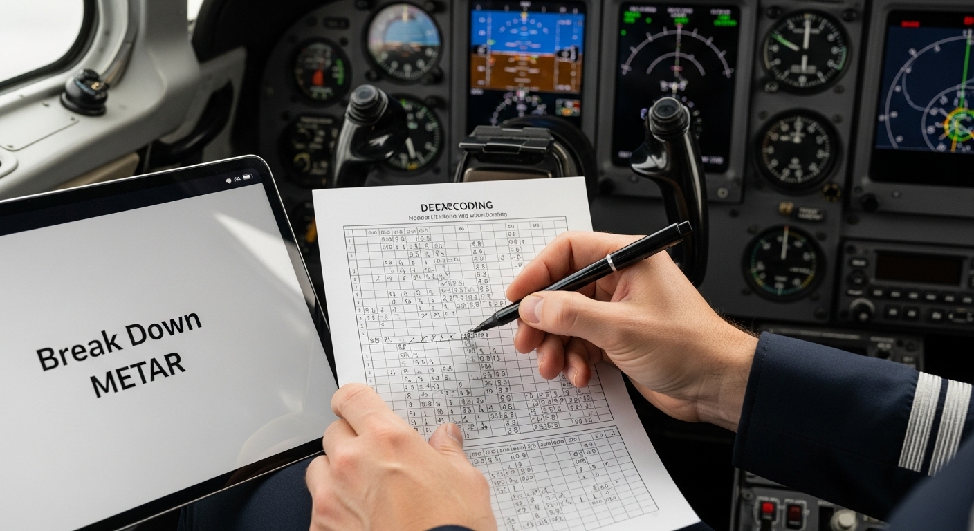
Step 3: Break Down METAR Components for Clarity
Decoding a METAR report transforms a seemingly cryptic string of characters into a comprehensive weather narrative crucial for flight planning. Mastering this skill requires methodical approach and understanding of standardized meteorological shorthand used globally in aviation.
Understanding METAR Structure
Every METAR report follows a precise sequence of information, functioning like a coded weather snapshot. Pilots must learn to read these reports from left to right, interpreting each segment systematically. European aviation standards emphasize the importance of consistent, standardized reporting to ensure international flight safety.
Typical METAR components include station identifier, time of observation, wind conditions, visibility, current weather phenomena, cloud coverage, temperature, dew point, and atmospheric pressure. Each element provides critical insights into potential flight conditions, requiring careful and methodical interpretation.
Key components to identify in order:
-
Station identification code
-
Observation timestamp
-
Wind direction and speed
-
Visibility parameters
-
Present weather conditions
-
Cloud layer information
-
Temperature and dew point
-
Atmospheric pressure settings
Decoding Practical Techniques
Successful METAR decoding involves developing a systematic reading strategy. Professional pilots recommend creating a mental checklist that transforms each cryptic segment into meaningful meteorological information. Start by identifying the airport code, which provides geographical context, then progress through each subsequent element methodically.
Wind reporting presents a classic example of METAR complexity. A wind segment like “24015KT” translates to wind coming from 240 degrees at 15 knots. Understanding these coded representations requires practice and familiarity with aviation meteorological conventions. Experienced pilots often recommend creating personal reference cards or using digital decoding tools to support rapid, accurate interpretation.
Temperature and dew point sections reveal atmospheric moisture potential. When these values converge, condensation becomes likely, signaling potential cloud formation or precipitation. Pilots must not only recognize these values but understand their implications for flight conditions and potential navigational challenges.
Verification remains crucial in METAR interpretation. Always cross-reference your decoded understanding with original report data, ensuring no critical details were misinterpreted.
This table breaks down the main METAR report components, summarising their functions and what to look for during decoding.
| METAR Component | Function | What to Note |
| Station identifier | Indicates origin of the report | ICAO airport code (e.g., EGLL for Heathrow) |
| Observation timestamp | Shows date and time of report | UTC time, often in DDHHMM format |
| Wind | Describes direction and speed | Measured in degrees true and knots |
| Visibility | States how far one can see | Typically in metres or statute miles |
| Weather phenomena | Identifies current conditions | Look for codes (e.g., RA for rain) |
| Cloud layers | Specifies cloud amount and altitude | Broken, overcast, and height in ft AGL |
| Temperature/dew point | Details current temp and humidity | Degrees Celsius, separated by a slash (/) |
| Atmospheric pressure | Provides altimeter setting | In hPa (QNH) or inHg (A) |
| Professional flight dispatchers recommend treating METAR decoding as a skill requiring continuous refinement and practice. |
Remember, mastering METAR components transforms complex meteorological data into actionable flight planning intelligence. Patience, systematic approach, and consistent practice will gradually convert these coded messages into intuitive weather insights.
Step 4: Interpret Weather Conditions and Trends
Interpreting weather conditions and trends transforms raw meteorological data into actionable flight planning intelligence. This critical step requires pilots to move beyond simple decoding and develop a comprehensive understanding of atmospheric dynamics that could impact their planned route.
Dynamic Weather Assessment
Professional pilots approach METAR interpretation as a holistic process, recognizing that individual weather components interact in complex ways. Wind patterns, visibility, temperature, and precipitation do not exist in isolation but create a dynamic atmospheric environment that demands nuanced understanding. European aviation experts emphasize the importance of viewing weather reports as integrated systems rather than disconnected measurements.
Understanding weather trends involves more than reading current conditions. Experienced pilots learn to anticipate potential meteorological shifts by analyzing subtle indicators within the METAR report. Specific keywords like “TEMPO” (temporary conditions) and “BECMG” (becoming) signal potential short-term weather variations that could significantly impact flight safety.
Critical trend interpretation elements include:
-
Rapid changes in wind direction and speed
-
Shifts in visibility parameters
-
Precipitation development
-
Cloud layer transformations
-
Temperature and dew point variations
Strategic Decision Making
Successful weather trend interpretation requires developing a strategic mindset. Pilots must learn to project potential scenarios based on current meteorological data. This involves understanding how local geographical features, atmospheric pressure systems, and seasonal variations might influence reported conditions.
Wind patterns represent a particularly crucial element in trend assessment. A sudden change in wind direction or speed can dramatically affect aircraft performance, fuel consumption, and overall flight trajectory. Professional pilots develop an intuitive sense of how wind conditions might evolve by cross-referencing METAR reports with broader meteorological forecasts.
Temperature and dew point relationships provide another critical insight. When these values converge, condensation becomes probable, signaling potential cloud formation or precipitation. Understanding these nuanced interactions transforms weather reporting from static data into a dynamic predictive tool.
Verification remains paramount in trend interpretation. Experienced pilots recommend cross-referencing METAR reports with additional sources like Terminal Aerodrome Forecasts (TAF) and regional weather briefings. This multi-source approach ensures a comprehensive understanding of potential meteorological challenges.
Remember, mastering weather trend interpretation is an ongoing learning process. Each flight offers an opportunity to refine your understanding, transforming complex meteorological data into reliable, actionable flight planning intelligence.
Step 5: Apply METAR Knowledge to Flight Situations
Transforming decoded METAR information into practical flight decisions represents the pinnacle of meteorological interpretation. Pilots must seamlessly convert complex weather data into actionable strategies that ensure flight safety and operational efficiency.
Strategic Decision Making
Successful application of METAR knowledge demands more than technical understanding. Pilots must develop an intuitive ability to translate weather parameters into real-world operational choices. European aviation regulations emphasize the critical nature of dynamic weather assessment throughout flight planning and execution.
When confronting challenging meteorological conditions, pilots must rapidly evaluate multiple factors. Wind speed and direction can significantly impact aircraft performance, potentially necessitating route adjustments or alternate airport selections. Visibility parameters determine whether visual or instrument flight rules (VFR/IFR) are appropriate, fundamentally changing navigation strategies.
Critical flight situation considerations include:
-
Minimum visibility thresholds for safe operations
-
Crosswind limitations for takeoff and landing
-
Potential icing conditions
-
Cloud ceiling impact on navigation
-
Precipitation effects on runway conditions
Practical Operational Adaptation
Professional pilots approach METAR application as a dynamic, continuous process. Rather than viewing weather reports as static documents, they treat them as evolving scenarios requiring constant reassessment. This means regularly updating meteorological information, even during flight, to maintain situational awareness.
Cloud coverage and ceiling height represent particularly crucial parameters. Low cloud formations might necessitate instrument flight procedures, while sudden changes could require immediate altitude adjustments. Experienced pilots develop a nuanced understanding of how different atmospheric layers interact, allowing for proactive rather than reactive decision-making.
Temperature and dew point relationships provide additional critical insights. Convergence of these values might signal potential condensation, impacting visibility and potentially creating challenging landing conditions. Professional pilots learn to anticipate these subtle meteorological interactions, transforming raw data into predictive operational intelligence.
Verification remains paramount in METAR application. Cross-referencing METAR reports with additional sources like Terminal Aerodrome Forecasts (TAF) and receiving real-time updates from air traffic control ensures comprehensive situational understanding. Successful pilots maintain flexibility, recognizing that weather conditions can change rapidly and unpredictably.
Remember, applying METAR knowledge is an art form that combines technical understanding with intuitive decision-making. Each flight offers an opportunity to refine your meteorological interpretation skills, ultimately enhancing safety and operational effectiveness.
Advance Your Flight Planning With VictorOne’s Expert Training
Struggling with decoding METARs and transforming complex weather reports into clear, confident decisions? When accuracy and speed are crucial, even the most diligent self-study can leave gaps in understanding. VictorOne.eu specialises in guiding aspiring pilots through the challenges of aviation weather analysis and METAR interpretation, directly connecting you to comprehensive online EASA theory courses for both fixed-wing and rotary licences. Our fully digital curriculum makes it easy to master critical skills such as reading METARs, understanding key aviation terminology, and applying weather data to real-life flight conditions.

Ready to transform uncertainty into professional confidence? Gain instant access to expert guidance, practical test banks, and live support by visiting VictorOne.eu. Begin your path to accurate flight planning and pass essential exams like ICAO English proficiency with ease. Take the next step today. Your aviation career deserves thorough preparation and real industry expertise.
Frequently Asked Questions
How do I access current METAR reports?
You can access current METAR reports through official aviation weather sources such as national meteorological service websites, international aviation weather portals, and professional flight planning software.
What are the key components of a METAR report?
A METAR report typically includes the station identifier, observation timestamp, wind conditions, visibility, current weather phenomena, cloud coverage, temperature, dew point, and atmospheric pressure.
How can I improve my METAR decoding skills?
Improving your METAR decoding skills involves practicing systematic reading strategies, creating mental checklists, and using reference cards or digital decoding tools to familiarise yourself with aviation meteorological conventions.
What should I consider when interpreting weather trends from METAR reports?
When interpreting weather trends, consider factors such as rapid changes in wind direction and speed, visibility variations, precipitation development, and the relationship between temperature and dew point for potential condensation or cloud formation.